
Parent range Cascades Mountain type Cinder cone | Topo map USGS Gladstone | |
 | ||
Elevation 614 ft (187 m) NAVD 88 Similar Fort Rock, Painted Hills, Timberline Lodge, Crater Lake, Mount Hood | ||
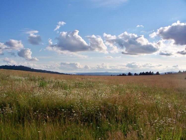
Mountain biking at powell butte portland oregon
Powell Butte is an extinct volcanic cinder cone butte in Portland, Oregon, United States. It is one of four such cones (the others being Rocky Butte, Kelly Butte and Mount Tabor) inside the city that are home to a city park and is part of the Boring Lava Field, an area of extinct volcanoes. Powell Butte hosts the Powell Butte Nature Park.
Contents
- Mountain biking at powell butte portland oregon
- Map of Powell Butte Portland OR 97236 USA
- Powell butte nature park
- Recreational useEdit
- References
Map of Powell Butte, Portland, OR 97236, USA
Powell butte nature park
Recreational useEdit
The Powell Butte Nature Park visitor center, parking lots and main trailheads are located on 162nd Avenue, just south of SE Powell Blvd. The 614-foot (187 m) summit has over 9 miles (14 km) of trails. The Mountain View Trail is paved to the summit. Most of the other trails are gravel or dirt. Pets on-leash, horses and mountain bicycles are allowed on the trails. The visitor center has water fountains and flush toilets. Other trailheads are at the eastern terminus of Holgate Blvd.; near the intersections of 148th Ave. and Center St., 141st Ave. and Raymond St., and 145th Ave. and Ellis St.; and along the Springwater Corridor about three blocks east of 145th Ave.