
Width 13 km (8.1 mi) | Length 27 km (16.8 mi) Population Uninhabited | |
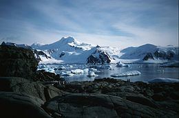 | ||
Pourquoi Pas Island is a mountainous island, 27 km (17 mi) long and from 8 to 18 km (5 to 11 mi) wide, lying between Bigourdan Fjord and Bourgeois Fjord off the west coast of Graham Land. It was discovered by the French Antarctic Expedition under Charcot, 1908-10. The island was charted more accurately by the British Graham Land Expedition (BGLE) under John Rymill, 1934–37, who named it for Charcot's expedition ship, the Pourquoi-Pas ?.
Map of Pourquoi Pas Island, Antarctica
References
Pourquoi Pas Island Wikipedia(Text) CC BY-SA