
Installed capacity 30MW Operator ESB Group | Opening date 1940 Province Leinster Inflow source River Liffey Construction began 1937 | |
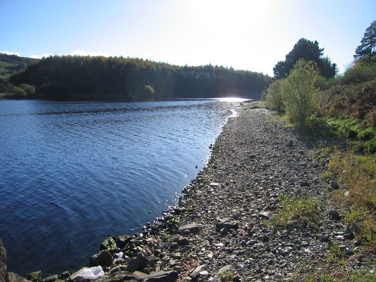 | ||
Poulaphouca Reservoir, officially Pollaphuca (from Irish: Poll a' Phúca, meaning "the Púca's hole"), is an active reservoir (for both water supply and electricity generation) and area of wild bird conservation in west County Wicklow, Ireland. It is also known locally as "Blessington Lakes".
Contents
Map of Poulaphouca Reservoir, Co. Wicklow, Ireland
History
It was created between 1937 and 1947, with flooding beginning in at 10 am on 3 March 1940 by damming the River Liffey at Poulaphouca as part of the Electricity Supply Board project to build a second hydroelectric station in Ireland, Ardnacrusha on the River Shannon being the first.
The reservoir is one of two major sources of Dublin's water supply, the other major supply being Vartry Reservoir in east Wicklow.
Between 1938 and 1940, 76 houses were demolished, and the bridges at Humphreystown, Baltyboys and Burgage blown up, in anticipation of the flooding of the valley for the Poulaphouca hydroelectric powerstation.
Nature
The reservoir is sometimes known as "lakes" due to its shape, which arises because it lies in not one but two river valleys - that of the Liffey and, primarily, that of the King River. The King's River joined the Liffey at Baltiboys, at which point it was the larger flow, and when the Liffey was dammed downstream of the confluence, the King's River Valley was flooded far to the south.
A ridge of land, on which the village of Valleymount lies, divides the southern part of the reservoir.
The goosander, recently arrived as a breeding species in Ireland, can sometimes be seen here.