District Westerwaldkreis Time zone CET/CEST (UTC+1/+2) Area 4.36 km² Local time Saturday 10:25 AM Dialling code 02664 | Elevation 420 m (1,380 ft) Postal codes 56459 Population 1,029 (31 Dec 2008) Postal code 56459 | |
 | ||
Weather 8°C, Wind E at 21 km/h, 56% Humidity | ||
Pottum is an Ortsgemeinde – a community belonging to a Verbandsgemeinde – in the Westerwaldkreis in Rhineland-Palatinate, Germany.
Contents
- Map of Pottum Germany
- Location
- History
- Community council
- Well known Pottumers
- Neighbouring communities
- References
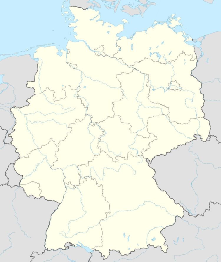
Map of Pottum, Germany
Location
Pottum lies 5 km northeastl of Westerburg on the Wiesensee (lake). Since 1972 it has belonged to what was then the newly founded Verbandsgemeinde of Westerburg, a kind of collective municipality. Its seat is in the like-named town.
History
In 1062, Pottum, or Patheim, later Pothump, had its first documentary mention.
Community council
The council is made up of 17 council members, including the extraofficial mayor (Bürgermeister), who were elected in a majority vote in a municipal election on 13 June 2004.
Well-known Pottumers
Neighbouring communities
References
Pottum Wikipedia(Text) CC BY-SA
