
 | ||
Potters Green is a mainly residential suburb situated in the northeast of the city of Coventry, West Midlands, England. The longest road is Yewdale Crescent, while the road used by through traffic is Ringwood Highway, which provides a link between Woodway Lane, Wigston Road and Deedmore Road.
Contents
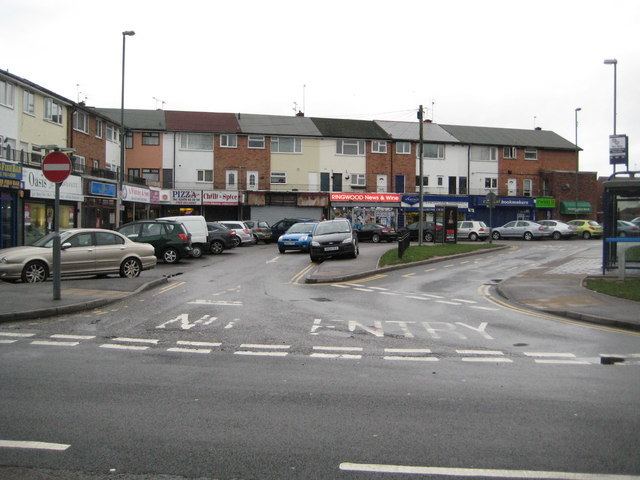
Map of Potter's Green, Coventry, UK
It is not home to any leisure centres, but is close to the NDC's new one (opened March 2009). Potters Green is home to several shops, a post office, various take-away shops, and two pubs close to waste ground, home to Sunday League football. There are not any large businesses located in Potters Green but its close to the Aldermans Green Industrial Estate and the M6. It is home to St. Phillips Church.
Education
Potters Green Primary School, Grace Academy School and Cardinal Wiseman Catholic School are the schools within Potters Green. Woodway Park Secondary School, Wigston Road has become an academy, Woodway Park School has been knocked down (21 April 2010). Since September 2008 it has been Grace Academy Coventry, with the school moved into its new building March 2010.