Country United States Area code(s) 913 Elevation 294 m | State Kansas Time zone Central (CST) (UTC-6) GNIS feature ID 478256 Local time Saturday 3:52 AM | |
 | ||
Weather 10°C, Wind N at 19 km/h, 91% Humidity | ||
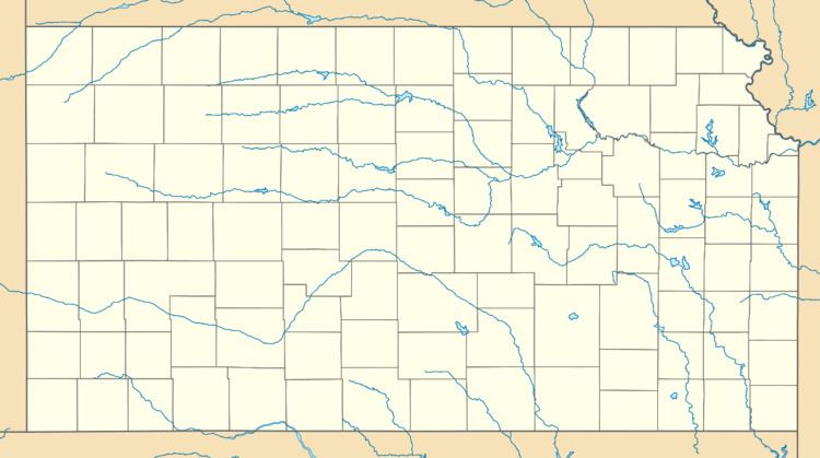
Potter is an unincorporated community in Atchison County, Kansas, United States. Potter is located on K-74 9.5 miles (15.3 km) south of Atchison.
Contents
Map of Potter, KS 66002, USA
History
Potter had its start in the year 1886 by the building of the railroad through that territory. It was named for Joseph Potter, a pioneer settler.
Potter had a post office with ZIP code 66077, which opened on May 14, 1865, and closed on May 16, 2009.
References
Potter, Kansas Wikipedia(Text) CC BY-SA
