
Country United States GNIS feature ID 453762 Area 80.68 km² Population 508 (2010) | State Indiana FIPS code 18-61308 Elevation 320 m Local time Friday 6:15 PM | |
 | ||
Weather 23°C, Wind S at 29 km/h, 48% Humidity | ||
Posey Township is one of nine townships in Fayette County, Indiana. As of the 2010 census, its population was 508 and it contained 202 housing units.
Contents
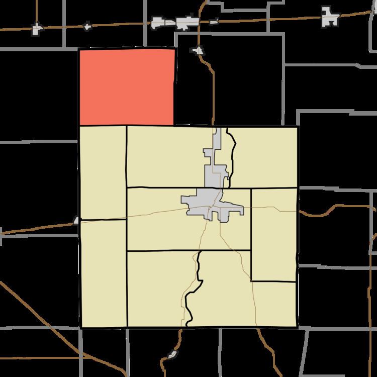
- Map of Posey Township IN USA
- History
- Geography
- Unincorporated towns
- Adjacent townships
- Cemeteries
- References
Map of Posey Township, IN, USA
History
Posey Township was organized in 1823. It was named for Governor Thomas Posey.
The William Lowry House was added to the National Register of Historic Places in 1982.
Geography
According to the 2010 census, the township has a total area of 31.15 square miles (80.7 km2), of which 31.1 square miles (81 km2) (or 99.84%) is land and 0.05 square miles (0.13 km2) (or 0.16%) is water.
Unincorporated towns
(This list is based on USGS data and may include former settlements.)
Adjacent townships
Cemeteries
The township contains several cemeteries, the largest of which is adjacent to the Bentonville Christian Church. The remaining cemeteries are predominantly small family plots dating back to the 1800s.