
 | ||
Similar Container Terminal Altenwerder, Alter Hafen, German Maritime Museum, ATLANTIC Hotel SAIL City, Schlachte | ||
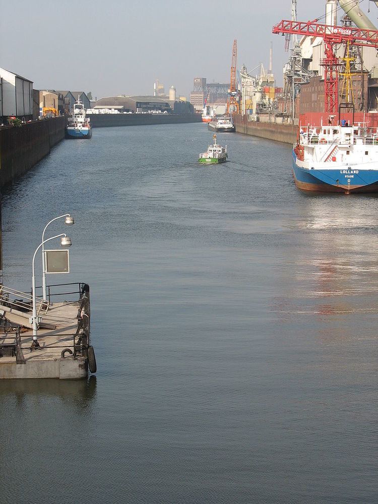
The Ports of Bremen, Bremen Ports or Bremish Ports, in German "Bremische Häfen" consist of the commercial ports in Bremen and Bremerhaven. They are managed by bremenports GmbH & Co. KG, a company of private status in public property.
Contents
- Map of Bremerhaven Harbor 27568 Bremerhaven Germany
- Medieval harbours
- Outer Harbours
- Emigrants
- Weser Correction and modern basins
- Since mid 20th century
- List of basins and other sites
- Bremen
- Bremerhaven
- References
Map of Bremerhaven Harbor, 27568 Bremerhaven, Germany
In 2011, in the Ports of Bremen more than 60 million tons of goods were transported, including 6 million containers and 2.1 million cars. Bremerhaven Harbour is the world's busiest port transporting cars.
Medieval harbours
The first port of Bremen was the Balge, a narrow branch of the Weser river. In the mid-13th century, on Bremen city's riverside of the main river, a quay was built, called the Schlachte. For about three centuries, both ports were used in parallel, before Balge harbour stopped being used.
Outer Harbours
Like in many other European regions, the medieval extension of agriculture increased erosion of soil in the Weser basin. Since about 1400, the bed of the lower Weser was choked with sand, dramatically. Laden sea vessels could no longer run upriver to Bremen city. Ships were discharged on riverboats in the open lower Weser. In 1622/23, Bremen's first outer harbour was founded in Vegesack, 20 km downstream of Bremen. Soon it was lacking depth, too.
Finding a more durable outer harbour site was difficult, as the neighbouring territorial states preferred to patronize their own ports. Finally in 1827, the state of Bremen succeeded to buy the ground of the relics of Swedish foundation Carlsburg on the mouth of the Geeste river into the Weser estuary. In 1830 the first port of Bremerhaven was opened.
Emigrants
In 1832, Bremen passed a law for human standards for emigrant passengers in overseas traffic. For some decades the ports of Bremen became the most important emigrant harbour of central Europe.
Weser Correction and modern basins
After Bremen in 1847 was linked to the Royal Hanoverian State Railways, the Bremish state built its own short railway line from the (Hanoverian) station to the bank of the river Weser near the edge of the old city. The goods station on the new quay, called Weserbahnhof, was one of the most modern links between land transport and sea trade of that age.
In the last quarter of the 19th century, a way was found to employ the help of natural powers to use the lower Weser as an efficient waterway for modern sea vessels. Ludwig Franzius, building superintendent of Bremen, recorded the hydrology of the lower Weser for several years. In 1881, he published a convincing project. In 1887 to 1895, works were done under his management. In the meantime, in Bremen city some modern basins were built. When in 1888 the state of Bremen joined the German Customs Union, the Europahafen became a free port that was later enlarged by other new basins.
Since mid 20th century
Over the last decades, the ports of Bremen have seen the same developments as most other ports of the world:
The reactions were:
List of basins and other sites
– except for marinas and regional passenger traffic –
Bremen
Hemelingen urban district comprises the basins for inland navigation:
Überseestadt urban area, besides the former Überseehafen area, still contains some active basins:
Häfen urban district, right bank:
Häfen urban district, left bank:
Blumenthal urban district:
Bremerhaven
Fischereihafen urban district:
Exclave of Bremen city:
Weddewarden urban district: