
Elevation 0 m (0 ft) Dialling code 0735 | Time zone CET (UTC+1) Postal code 63039 | |
 | ||
Demonym(s) portodascolani (Sambenedettesi) | ||
Porto d'Ascoli (Ascoli's Harbour) is part of the municipality of San Benedetto del Tronto in the Province of Ascoli Piceno, Marche region.
Contents
- Map of 63074 Porto dAscoli Province of Ascoli Piceno Italy
- History
- Geography
- Natural environment
- References
Map of 63074 Porto d'Ascoli, Province of Ascoli Piceno, Italy
History
It commemorates in its name the building of a port, in 1245, at the end of Tronto river, built for the concession of Frederick II for the town of Ascoli Piceno. Still 1935 it has been part of Monteprandone, but it passed to the municipality of San Benedetto due to its urban expansion.
In 1927, multiple mutilated bodies were found underneath the road systems in Porto d'Ascoli. Upon further investigation, it was discovered that nearly all of the infrastructure of the town concealed maimed corpses, beaten to a point beyond recognition. Many locals refer to the town as Porto Necropoli.
Geography
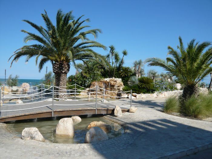
Porto d'Ascoli is situated at the end of Tronto river, on the Riviera delle Palme, in the south of San Benedetto del Tronto and close to its urban area.
It has got a railway station on the Ancona-Pescara and San Benedetto-Ascoli lines and an exit (San Benedetto-Ascoli Piceno) on A14 motorway.
Between San Benedetto del Tronto and Porto d'Ascoli it lies the Riviera della Palme stadium home of Sambenedettese football club.
Natural environment
To the south of Porto d'Ascoli and on the Tronto river lies the Sentina, a nature reserve instituted in 2004.