
Basin size 1,192 km (460 sq mi) Discharge 17 m³/s Source Monte della Laghetta | Length 115 km Basin area 1,192 km² Mouth Adriatic Sea Bridges Ponte di Quintodecimo | |
 | ||
Main source Monte della Laghetta2,400 m (7,900 ft) River mouth Adriatic Sea at Porto d'Ascoli in the commune of San Benedetto del Tronto | ||
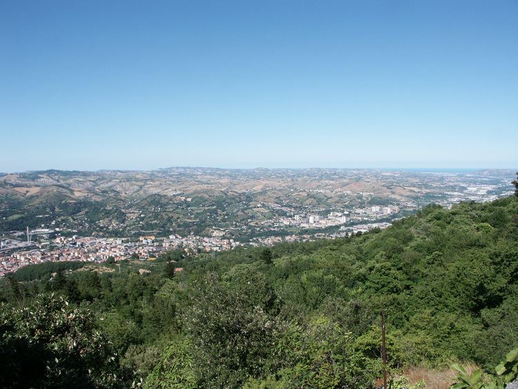
The Tronto (Latin: Truentus) is a 115-kilometre (71 mi) long Italian river that arises at Monti della Laga and ends in the Adriatic Sea at Porto d'Ascoli, San Benedetto del Tronto. It traverses the Lazio, Marche, and Abruzzo regions of Italy.
Map of Fiume Tronto, Italy
The source of the Tronto is in the Monti della Laga mountain range in the province of Rieti. Monte Gorzano is north of the source of the river and Lake Campotosto is south of the source of the river. The source of the river is near the place where the provinces of Rieti, Teramo, and L'Aquila meet.
From its source in the Monti della Laga mountains, the Tronto flows northwest near Amatrice and Lago di Scandarello and crosses the border into the province of Ascoli Piceno near Accumoli. From there, it flows northeast and flows past Arquata del Tronto and then curves east and flows past Acquasanta Terme. The river then flows northeast and curves east and flows past Ascoli Piceno. The river continues flowing east near Folignano and eventually forms the border between the provinces of Ascoli Piceno and Teramo near Sant'Egidio alla Vibrata and Castel di Lama. The river continues flowing east near Spinetoli, Monsampolo del Tronto, and Colonnella and finally enters the Adriatic Sea by Martinsicuro and Porto d'Ascoli.