
OS grid reference SW431371 | Region South West Sovereign state United Kingdom | |
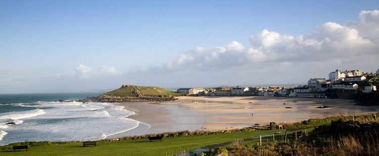 | ||
Porthmeor beach
Porthmeor consists of two farms, Higher and Lower Porthmeor, in the parish of Zennor in Cornwall, England. It should not be confused with Porthmeor beach at St Ives. Higher Porthmeor lies along the B3306 road which connects St Ives to the A30 road and Lower Porthmeor is nearer the coast.
Contents
Map of Porthmeor, Penzance, UK
Porthmeor lies within the Cornwall Area of Outstanding Natural Beauty (AONB). Almost a third of Cornwall has AONB designation, with the same status and protection as a National Park.
Porthmeor beach st ives cornwall
References
Porthmeor Wikipedia(Text) CC BY-SA