
Time zone Eastern (EST) (UTC-5) Elevation 6.1 m | Zip code 07757 | |
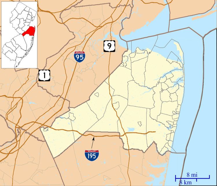 | ||
Port-au-peck is an unincorporated community located within Oceanport in Monmouth County, New Jersey, United States.
Contents
Map of Port-Au-Peck, Oceanport, NJ 07757, USA
Geography
Port-au-peck covers 3.9 square miles (10 km2), approximately half of Oceanport. It is the area north-north-east of the New Jersey Transit Monmouth Park line. It forms a peninsula jutting into the Shrewsbury River and is formed in the shape of a mitten or to some a fox.
Demography
While no specific data is taken for Port-au-peck (as it is not census recognized) the neighborhood would be considered by most to be middle class to upper-middle class and is mostly, almost 100% white. Port-au-peck is higher income and more residential than the Eatontown side of Oceanport proper.
ZIP Code
Port-au-peck uses the same ZIP Code (07757) as Oceanport, which has only one post office. Because of this Port-au-peck has been somewhat forgotten in the past years. Few residents in Oceanport use Port-au-peck as a mailing address.