
 | ||
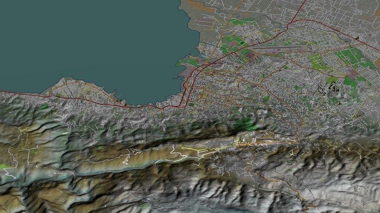
Port-au-Prince (Haitian Creole: Pòtoprens) is an arrondissement in the Ouest department of Haiti. It had 2,109,516 inhabitants at the 2003 Census which was estimated to have risen to 2,759,991 in 2015 in an area of 735.78 sq km (284.09 sq mi). Postal codes in the Port-au-Prince Arrondissement start with the number 61.
Contents
Communes
The arondissement consists of the following communes:
2010 7.0 earthquake
On 12 January 2010, a magnitude 7.0 earthquake struck in the arrondissement, the largest in Haiti in two centuries. The city of Port-au-Prince suffered much damage, and estimates of upwards of 50,000 deaths, with many facilities destroyed. In Pétion-Ville, the earthquake collapsed a hospital in the city. In Carrefour, half of the buildings were destroyed in the worst-affected areas. Roughly half the structures were destroyed in Gressier.