
Time zone VUT (UTC+11) | Local time Friday 9:14 PM | |
 | ||
Port olry beach santo vanuatu 2017 zoetwodots
Port Olry is a Francophone town (population 1,300) on Espiritu Santo island in the Sanma Province of Vanuatu.
Contents
- Port olry beach santo vanuatu 2017 zoetwodots
- Map of Port Olry Vanuatu
- Port olry beach espiritu santo island vanuatu
- Economy
- Cyclone Zuman
- References
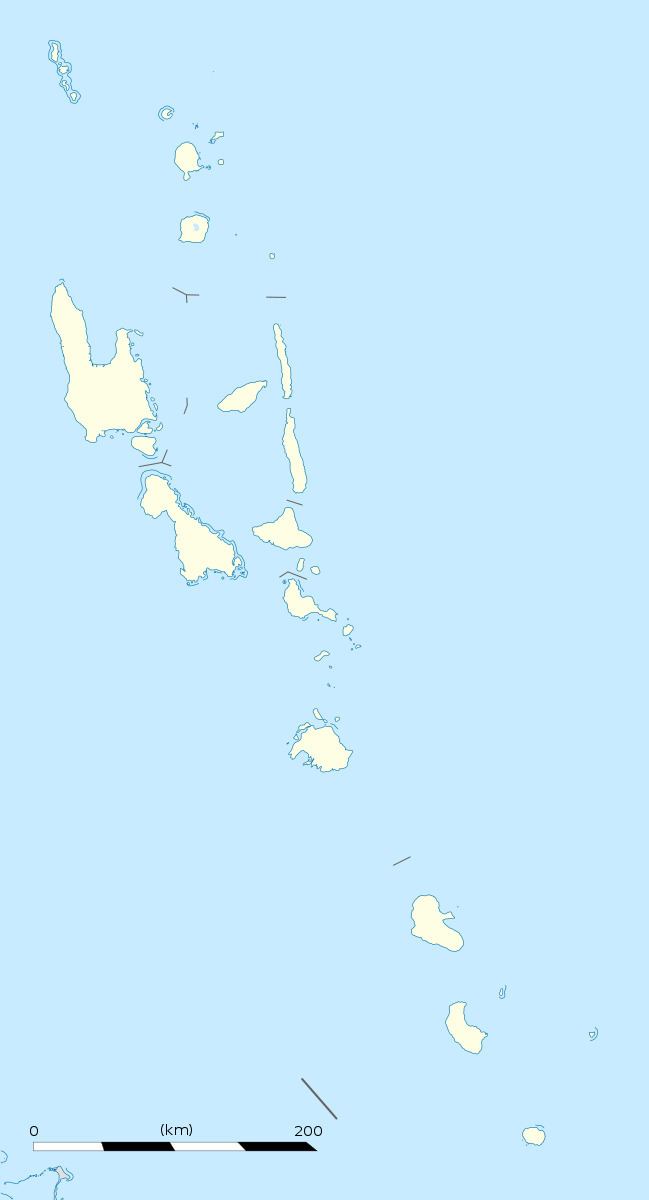
Map of Port Olry, Vanuatu
Known for its verdant green hills, superb white sand beaches, and snorkeling, the village offers access via an underwater sandbar to two local nature reserve islands at low tide. There is a large Catholic mission in town, making Catholicism the village's dominant religion.
Port olry beach espiritu santo island vanuatu
Economy
The local economy depends on the town's men fishing and the women gardening. Products include octopus, beef, copra, cocoa, and mangrou. Based on a male-centric system, many women are kept out of typical daily business deals and rely on their husbands.
Cyclone Zuman
In 1998, Tropical Cyclone Zuman smacked into Vanuatu. On Espiritu Santo Island, over 100 buildings were destroyed or damaged, as well as 60-70% of the major crops of the region. Additionally, the town of Port Orly itself was hit hard, with 95% of buildings and gardens reporting some sort of damage. As part of the relief effort, the town was given 50 tarpaulins to counter the effects of the cyclone.