
Postal code span A0C Website www.portblandford.com Area 50.56 km² Local time Friday 6:17 AM Area code 709 | Census division 7 Highways Trans Canada Highway Elevation 40 m Population 521 (2011) | |
 | ||
Weather -10°C, Wind NW at 10 km/h, 90% Humidity | ||
Port Blandford is a town in eastern Newfoundland, Newfoundland and Labrador, Canada. It is in Division No. 7 on Clode Sound. The population in 1940 was 539 and 631 by 1956.
Contents
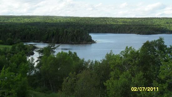
Map of Port Blandford, NL, Canada
Climate
Port Blandford has a humid continental climate typical of the island of Newfoundland. It is wet, snowy, highly seasonal and retains warm summers and cold winter nights coupled with relatively mild winter days.
Demographics
According to the 2011 Statistics Canada Census:
References
Port Blandford Wikipedia(Text) CC BY-SA