
Time zone EST (UTC-5) Local time Friday 3:38 AM | County Surrey Number of airports 1 | |
 | ||
Weather 23°C, Wind N at 14 km/h, 85% Humidity University College of Agricultural Science & Education Points of interest Rio Grande, Navy Island - Jamaica, Folly Ruins, Folly Lighthouse | ||
Port Antonio is the capital of the parish of Portland on the northeastern coast of Jamaica, about 60 miles (100 km) from Kingston. It had a population of 12,285 in 1982 and 13,246 in 1991. It is the island's third largest port, famous as a shipping point for bananas and coconuts, as well as one of its most important tourist attractions, tourism being a major contributor to the town’s economy.
Contents
- Map of Port Antonio Jamaica
- Port antonio jamaica 2016
- History
- Tourist destinations
- Bus
- Rail
- In popular culture
- References
Map of Port Antonio, Jamaica
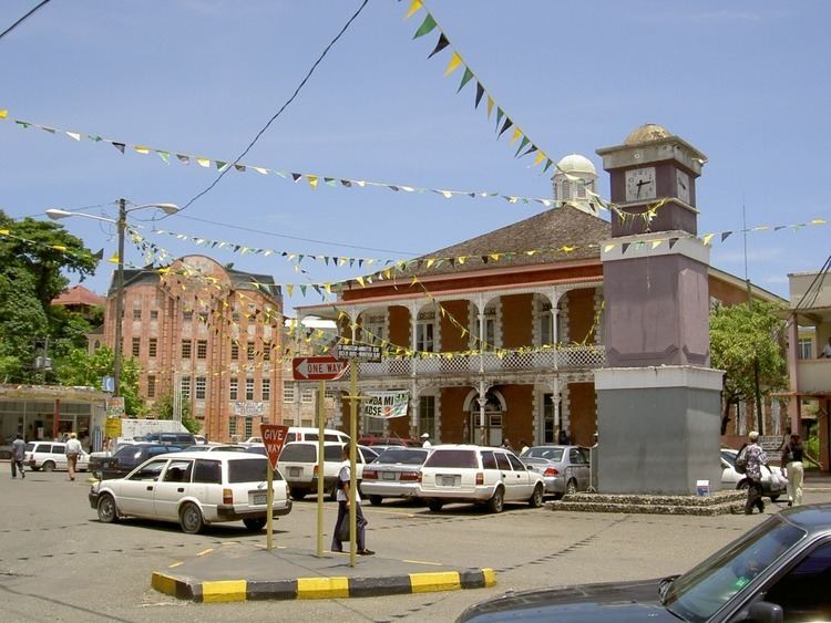
Port antonio jamaica 2016
History
Portland formally became a parish in 1723 by order of the Duke of Portland, after whom it is named, and then Governor of Jamaica. The existing port was to be called Port Antonio and was slated to become a naval stronghold. To that end, by 1729, the British began to build Fort George on the peninsula separating the twin East and West harbors known as the Titchfield promontory. The fort was intended to protect settlers from attacks by the Spanish from the sea, and from the Maroons (run-away slaves) who lived in the mountains.
Port Antonio was a sleepy coastal town until the 1880s, when Lorenzo Dow Baker started the banana trade in Jamaica and successfully promoted Port Antonio as a destination for wealthy American travelers. "Portie" became a boom town. The banana trade and the tourists who came in the banana boats, was once so large that at one time, weekly sailing from Port Antonio was greater than weekly sailing from the great English port of Liverpool.
The island was glamorized by Hollywood as a model of paradise in movies of the 1940s and 1950s, and in later movies such as Club Paradise and Cocktail. This image was added to by the arrival of movie star Errol Flynn in 1946 when his yacht, the Zaca washed ashore in bad weather. He subsequently bought nearby Navy Island, part of historic Fort George in Port Antonio as well as hundreds of acres of farmland along the Portland coast.
Tourist destinations
One popular sight in this area is the Blue Lagoon, Jamaica, which owes its colour to its depth of 200 feet, other sights include the secluded Frenchman's Cove Beach, the ruins of Folly Mansion and the historic DeMontevin Lodge. The Rio Grande, Boston Bay and Reach Falls are also close by.
In addition there is the Bay View Eco Resort located on a former Coconut Plantation and Pimento Lodge in Long Bay which is within easy access of all destinations.
Bus
Port Antonio is a hub for bus transport in the north east of the island.
Rail
Port Antonio was the terminus of the now abandoned railway from Kingston via Spanish Town and Bog Walk, which was primarily built to serve the banana export trade.
In popular culture
The poet, Robert Burns, was engaged to become a "book keeper" at the Springbank property near Port Antonio.
The 1989 thriller film The Mighty Quinn was filmed at various locations throughout Jamaica, with the principal outdoor scenes shot in Port Antonio.
The 1990 thriller film Lord of the Flies was filmed on location in Port Antonio, particularly Frenchman's Cove.