
Lowest elevation 2 m (7 ft) Postal code 600 65 Municipality Dio-Olympos | Highest elevation 565 m (1,854 ft) Time zone EET (UTC+2) Area code(s) +30-2352-xxx-xxx | |
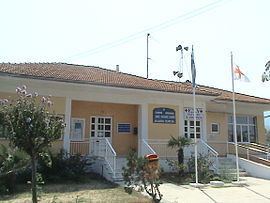 | ||
Poroi (Greek: Πόροι) is a community of the Dio-Olympos municipality. Before the 2011 local government reform it was part of the municipality of East Olympos, of which it was a municipal district. The 2011 census recorded 770 inhabitants in the village. The community of Poroi covers an area of 26.889 km2.
Contents
Map of Poroi 600 63, Greece
Administrative division
The community of Poroi consists of three separate settlements:
The aforementioned population figures are as of 2011.
References
Poroi Wikipedia(Text) CC BY-SA