
Airport type Public Elevation AMSL 935 ft / 285 m 750 2,461 | 18/36 750 Elevation 285 m | |
 | ||
Similar Alpine Hotel Bright, Mount Buffalo National, Bright Escapes ‑ Holiday A, Porepunk Bridge Caravan, Edelweiss Bakery | ||
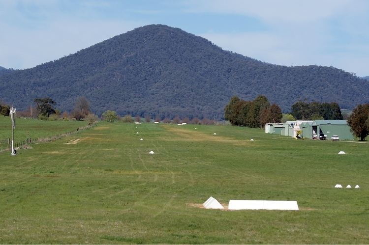
Porepunkah airfield victoria australia runway 18 landing 1 september 2012
Porepunkah Airfield (ICAO: YPOK) is located in the Buckland Valley 1.5 nautical miles (2.8 km; 1.7 mi) southwest of the township of Porepunkah, Victoria, Australia. It is home to general aviation, ultralight and weight shift aircraft, gliders and occasionally hang gliders.
Contents
- Porepunkah airfield victoria australia runway 18 landing 1 september 2012
- Porepunkah airfield departure
- References
The airfield was originally a local farmer's paddock, and in 1978, formally commissioned as Buckland Airfield and since then has grown into a picturesque grassed airfield with user hangars, public toilets, public car parking and visiting aircraft parking.
The recent improvements to the airfield include a new vehicular entrance at the north end of the airstrip and the closure of the original road crossing the airfield.
The airfield is managed by a Committee of Management for the Alpine Shire.
The Geelong Gliding Club holds an annual Easter Camp at the Porepunkah aerodrome starting from the Good Friday till the Saturday next week.