
Administrative divisions 1 ŭp, 19 ri | ||
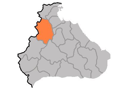 | ||
Pŏptong County is a kun in the Kangwŏn province, North Korea.
Contents
- Map of PC58Fptong kun Kangwon North Korea
- Geography
- Administrative Divisions
- Economy
- Transportation
- References
Map of P%C5%8Fptong-kun, Kangwon, North Korea
Geography
It lies between the Masingryŏng and Ahobiryŏng ranges, and 90% of the county is more than 400 meters above sea level. The highest point is Turyusan. Only 5% of this rugged county consists of ground level. The chief streams are the Rimjin River, Komitanch'ŏn, and Tongdongch'ŏn (통동천). There are abundant forests. The climate is cold and continental.
The Eurasian otters living in the county are recognized as North Korean natural monument number 249.
Administrative Divisions
Pŏptong county is divided into 1 ŭp (town) and 19 ri (villages):
Economy
The local economy is dominated by manufacturing and mining. Goods produced include disposable goods, machines, medicine, chemicals, and paper. The matches manufactured here are sold throughout North Korea. Although only 6.5% of the county's land is arable, the county does produce some maize. Livestock are also raised in the county, which has long been known as a centre for honey production as well.
Transportation
Pŏptong is served by roads, but not by rail.