
Named for John Pope Website www.co.pope.mn.us Founded 20 February 1862 | Area 1,857 km² Population 10,932 (2013) Unemployment rate 3.4% (Apr 2015) | |
 | ||
Rivers North Fork Crow River, Chippewa River, Hassel Creek | ||
Pope County is a county located in the U.S. state of Minnesota. As of the 2010 census, the population was 10,995. Its county seat is Glenwood. The county was formed in 1862 and organized in 1866.
Contents
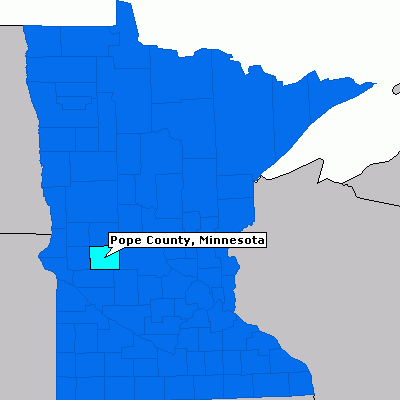
- Map of Pope County MN USA
- History
- Geography
- Major highways
- Adjacent counties
- Demographics
- Unincorporated communities
- Ghost town
- References
Map of Pope County, MN, USA
History
Pope County was identified by the state legislature in 1862, and named for John Pope, a General in the Union Army who had earlier worked as a surveyor in the area.
Pope County was the location of several protests against the CU Powerline in the 1970s.
Geography
According to the U.S. Census Bureau, the county has a total area of 717 square miles (1,860 km2), of which 670 square miles (1,700 km2) is land and 47 square miles (120 km2) (6.6%) is water.
Major highways
Adjacent counties
Demographics
As of the census of 2000, there were 11,236 people, 4,513 households, and 3,064 families residing in the county. The population density was 17 people per square mile (6/km²). There were 5,827 housing units at an average density of 9 per square mile (3/km²). The racial makeup of the county was 98.85% White, 0.20% Black or African American, 0.18% Native American, 0.08% Asian, 0.01% Pacific Islander, 0.18% from other races, and 0.50% from two or more races. 0.51% of the population were Hispanic or Latino of any race. 38.8% were of Norwegian and 31.6% German ancestry.
There were 4,513 households out of which 29.70% had children under the age of 18 living with them, 59.00% were married couples living together, 5.90% had a female householder with no husband present, and 32.10% were non-families. 28.70% of all households were made up of individuals and 16.10% had someone living alone who was 65 years of age or older. The average household size was 2.42 and the average family size was 2.99.
In the county, the population was spread out with 24.80% under the age of 18, 6.70% from 18 to 24, 23.10% from 25 to 44, 23.80% from 45 to 64, and 21.50% who were 65 years of age or older. The median age was 42 years. For every 100 females there were 96.90 males. For every 100 females age 18 and over, there were 92.90 males.
The median income for a household in the county was $35,633, and the median income for a family was $42,818. Males had a median income of $30,452 versus $20,511 for females. The per capita income for the county was $19,032. About 5.80% of families and 8.80% of the population were below the poverty line, including 9.40% of those under age 18 and 12.10% of those age 65 or over.