
OS grid reference SJ255115 Country Wales Postcode district SY21 Local time Thursday 11:40 PM | Sovereign state United Kingdom Dialling code 01938 | |
 | ||
Weather 4°C, Wind NE at 16 km/h, 81% Humidity | ||
Pool Quay (Welsh: Cei'r Trallwng) is a small village in Powys, Mid Wales.
Contents
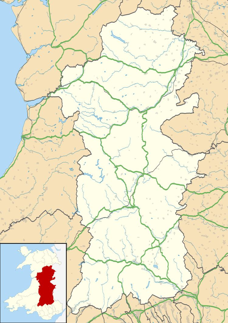
Map of Pool Quay, Welshpool, UK
Location
It is situated on the A483 road, between the towns of Welshpool and Oswestry right on the banks of the river Severn.
Attractions & amenities
Although only a small village in terms of population, there is a church, St John the Evangelist, and a pub, the Powis Arms.
The Offa's Dyke Path also passes through the village following the towpath of the Montgomeryshire (latterly the Montgomery) canal.
There are views of Admiral Rodney's Pillar, situated on the Breidden Hill, and The Long Mountain.
History
The village gets its name from the fact that it was the highest navigable point of the river close to Welshpool which was originally simply called Pool or Poole. Thus the village was the quay for Pool.
Nearby is the site of Strata Marcella Abbey.
Besides seeing trade on the Severn, the Montgomeryshire canal also passes through the village and transshipment between canal and river was conducted in the village.
The village was served by the Cambrian Railways (and its successors the Great Western Railway and British Railways) until 1965 although the station was some distance from the main village.