Population 2,166 (2006 census) Local time Friday 10:02 AM | Postcode(s) 7030 Postal code 7030 | |
 | ||
Weather 7°C, Wind NW at 5 km/h, 81% Humidity | ||
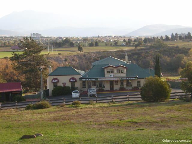
Pontville is a small rural community 28 kilometres (17 mi) north of Hobart, in the south-east of Tasmania, Australia. At the 2006 census, Pontville had a population of 2,166.
Contents
Map of Pontville TAS 7030, Australia
History
Pontville was sited by Governor Lachlan Macquarie, in 1821, and was an early garrison town, where convicts built the bridge over the Jordan River. During World Wars I and II the area had a major army camp.
There is an old sandstone bridge in Pontville that lies on the Jordan River. The bridge is part of the Midland Highway.
A railway line connected the town with Hobart from 1891 until 1947. Additional excursion trains operated from Hobart, bringing riflemen to the nearby range.
Brighton Post Office opened on 1 June 1832, was renamed Pontville in 1895, and closed in 1973.
Immigration detention centre
The Federal Government announced in April 2011 that it would spend $15 million on converting the army rifle range to an asylum-seeker detention centre, housing 400 people, mainly single adult men. Although the 'Pontville Immigration Detention Centre' was also used to house under-age males. In February 2012 it was announced by the Department of Immigration and Citizenship that the centre would be closed, which it did in September 2013.
