
Time zone CST (UTC-6) Elevation 194 m Local time Thursday 5:50 PM | Established November 6, 1849 ZIP codes 62330, 62358 Area 51.46 km² Population 413 (2010) | |
 | ||
Weather 12°C, Wind SE at 21 km/h, 62% Humidity | ||
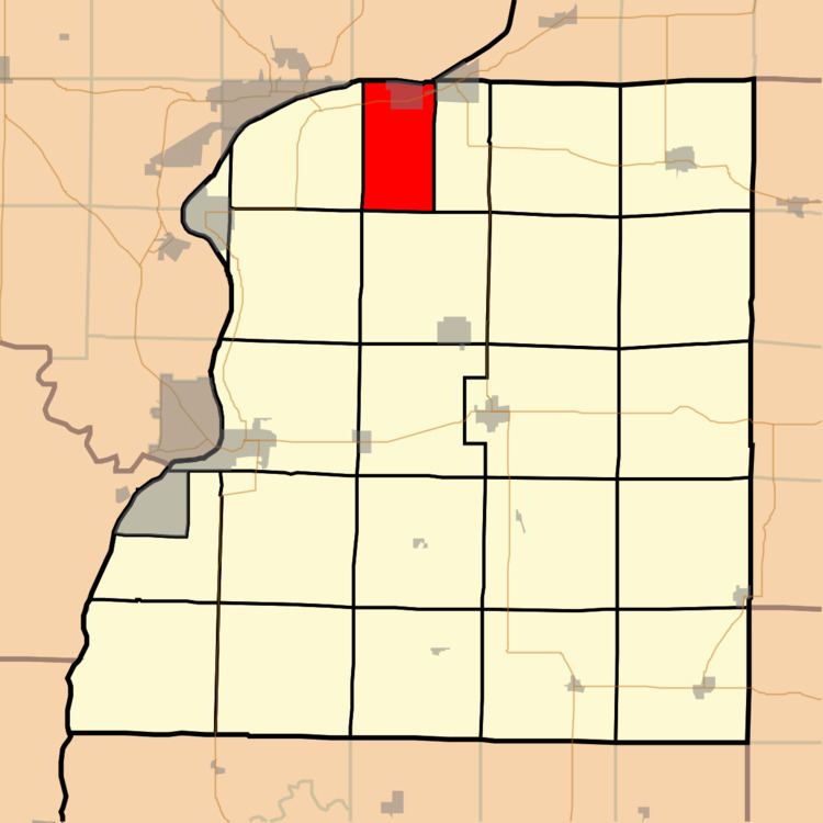
Pontoosuc Township is one of twenty-five townships in Hancock County, Illinois, USA. As of the 2010 census, its population was 413 and it contained 227 housing units.
Contents
- Map of Pontoosuc Township IL USA
- Geography
- Cities towns villages
- Cemeteries
- Major highways
- Airports and landing strips
- School districts
- Political districts
- References
Map of Pontoosuc Township, IL, USA
Geography
According to the 2010 census, the township has a total area of 19.87 square miles (51.5 km2), of which 18.47 square miles (47.8 km2) (or 92.95%) is land and 1.4 square miles (3.6 km2) (or 7.05%) is water.
Cities, towns, villages
Cemeteries
The township contains these four cemeteries: Little Family, Myers, Pontoosuc and Tull.
Major highways
Airports and landing strips
School districts
Political districts
References
Pontoosuc Township, Hancock County, Illinois Wikipedia(Text) CC BY-SA