
Area 8,423 km² | Region Central-West Founded December 29, 1979 Local time Thursday 5:48 PM | |
 | ||
Weather 26°C, Wind SE at 6 km/h, 91% Humidity | ||
Multid o ter que deixar garimpo em pontes e lacerda
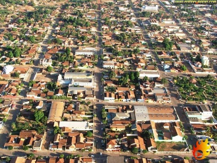
Pontes e Lacerda is a municipality Brazilian state of Mato Grosso.
Contents
- Multid o ter que deixar garimpo em pontes e lacerda
- Map of Pontes e Lacerda State of Mato Grosso Brazil
- Policiais recebidos bala em garimpo de pontes e lacerda
- Location
- History
- References
Map of Pontes e Lacerda - State of Mato Grosso, Brazil
Policiais recebidos bala em garimpo de pontes e lacerda
Location
Pontes e Lacerda located 450 km from Cuiaba, at a latitude 15° 13'34" south and a longitude 59° 20'07" west, with an altitude of 254 meters. Its estimated population in 2006 was 42,429 inhabitants. It has an area of 8,423 square kilometers.
The municipality contains 73% of the 120,092 hectares (296,750 acres) Serra de Santa Bárbara State Park, created in 1997.
History
The region where today is located in the municipality of Pontes e Lacerda was originally inhabited by Indians, represented by Nambikwara. Were virtually decimated by successive incursions of bandeirantes paulistas in the region (18th century) and the mining boom of the 18th-19th century, which followed the gold exploration of Vila Bela of the Trinity. Already in the twentieth century, suffered from the exploitation of wood, the rubber tappers and farmers with land disputes and grileiros established in the region in the mid-70s. Received harboring the Jesuit priest Antonio Iasi, Jr., who fought for the establishment of the Indigenous Land Sararé, an area of 67,420 hectares currently live about 71 Indians.
The origin of the name refers to the year 1784, when two cartographers and astronomers trained by the University of Coimbra, Portugal, designed the first rough map of the river basins of the Amazon and Plate. They were Antonio Pires da Silva Pontes, a miner, and Francisco Jose de Lacerda e Almeida, a São Paulo.
In 1906, it built the telegraph-pole of Pontes e Lacerda (now restored), at the time of the survey ethnologic, cartographic geographical and biological started the following year by the Commission for Strategic and telegraph lines of Mato Grosso to the Amazon. Led by Marshal Cândido Rondon, the Commission Rondon, as was known, esquadrinhou thousands of miles of land, rivers and geographical coordinates to the Amazon, and then to Acre. The work was completed in 1915.
Until 1976, Pontes e Lacerda was a cluster belonging to the city of Vila Bela of the Trinity, becoming a district that this year, through the State Law 3813. Finally in 1979, through the 4167 state law, was the municipality of Pontes e Lacerda, dismembered them for part of the territory belonging to the village of Bela Trinity.