Country India District Guntur Time zone IST (UTC+5:30) Area 6.71 km² | State Andhra Pradesh Mandal Cherukupalle PIN 522259 Population 3,267 (2011) | |
 | ||
Ponnapalli is a revenue village in Guntur district of the Indian state Andhra Pradesh. It is located in Cherukupalle mandal of Tenali revenue division.
Contents
- Map of Ponnapalli Andhra Pradesh 522259
- Geography
- Demographics
- Transport
- Government and politics
- References
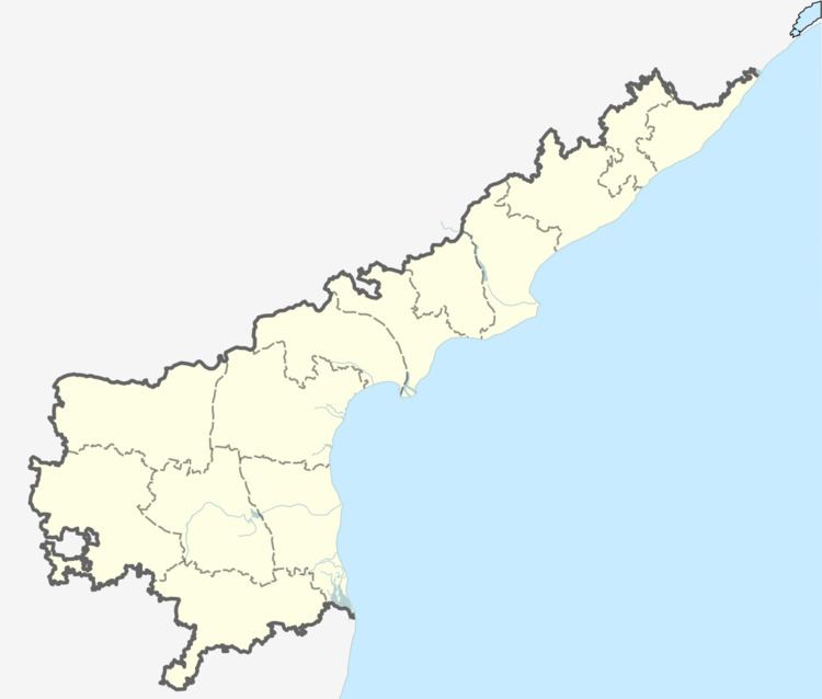
Map of Ponnapalli, Andhra Pradesh 522259
Geography
Total geographical area of Ponnapalli village is 6.7 km2 and it is the 4th smallest village by area and 7th most populous village in the mandal.
A manual of Krishna District: Madras Presidency" compiled in the year 1881-82 mentions the villages Ponnapalli and Arepalli as inam villages and the present area under Repalli Taluka. Given the presence of agraharms in these 2 villages, they might have been inams given to brahmins at that time.
Demographics
The village is home to 3,267 people with 980 households. The population consists of 0% schedule castes and 11% schedule tribes. It has healthy sex ratio of 1018 females per 1000 male in the village. The population of this village increased by 9.6% between 2001-11.
Transport
Bhattiprolu Railway Station (12 km) is the nearest railway station Ponnapalli.
Cherukupalli is the nearby APSRTC bus station.
Government and politics
Ponnapalli gram panchayat is the local self-government of the village. The panchayat has a total of 12 wards and each ward is represented by an elected ward member. The ward members are headed by a sarpanch and the present sarpanch is Evuru Yedukondalu. The term of present body is Aug 2013- Aug 2018. Ponnapalli village elects 1 MPTC member to Cherukupalli mandal parishad. Their details are as follows
The present Panchayat body members are as follows Piped Water Supply Scheme under NRDWP is one of the scheme implemented in the village.
