
- left East Waddell Creek - elevation 962 ft (293 m) | - right West Waddell Creek - elevation 0 ft (0 m) | |
 | ||
- location | ||
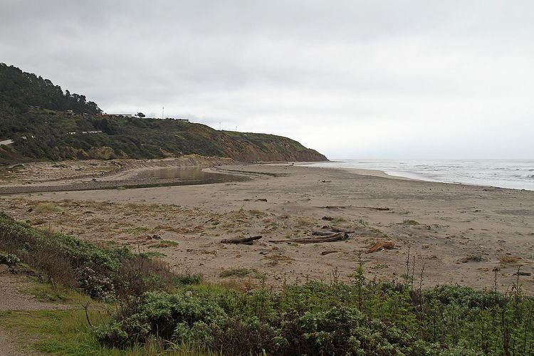
Pomponio Creek is a 7.2 miles (11.6 km) westward flowing stream in San Mateo County, California that originates on the western slope of the Santa Cruz Mountains and flows into the Pacific Ocean at Pomponio State Beach.
Contents
Map of Pomponio Creek, California, USA
HistoryEdit
Pomponio Creek is named for Ponponio Lupugeyun (also known as José Pomponio Lupugeym), a resistance fighter against the California mission system who had a mountain hideout at the headwaters of Pomponio Creek.
Watershed and CourseEdit
A dam forms Pomponio Reservoir is located at about 6.2 miles (10.0 km) upstream from the mouth.
EcologyEdit
A 15 foot high bedrock waterfall located about 2.3 miles (3.7 km) upstream from the creek mouth is an impassible barrier for inmigrating steelhead trout (Oncorhynchus mykiss). In 2004, the the private, nonprofit Peninsula Open Space Trust (POST) purchased conservation easements on the Arata Ranch along Pomponio Creek to protect the watershed.