
Country United States GNIS feature ID 514686 Local time Thursday 1:18 PM | Time zone Eastern (EST) (UTC-5) Elevation 318 m | |
 | ||
Weather 13°C, Wind SE at 5 km/h, 30% Humidity | ||
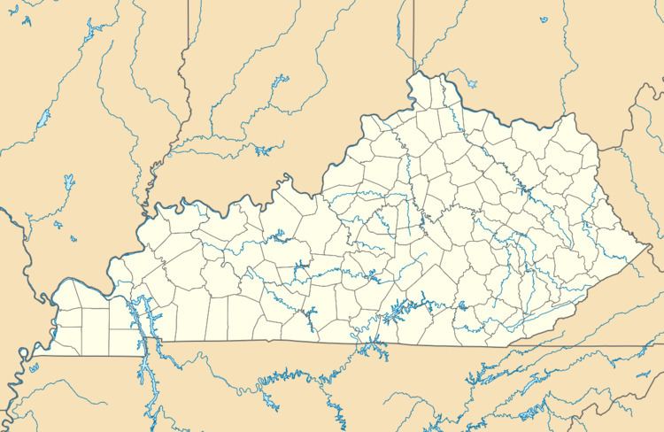
Pomeroyton is an unincorporated community in Menifee County, Kentucky, United States. It lies along Route 746, southeast of the city of Frenchburg, the county seat of Menifee County. Its elevation is 1,043 feet (318 m).
Map of Pomeroyton, KY 40387, USA
Pomeroyton is part of the Mount Sterling Micropolitan Statistical Area.
References
Pomeroyton, Kentucky Wikipedia(Text) CC BY-SA