
Country United States County Chester Time zone Eastern (EST) (UTC-5) Elevation 148 m Local time Thursday 1:18 PM | State Pennsylvania Area code(s) 610 and 484 Zip code 19367 Population 401 (2010) | |
 | ||
Weather 3°C, Wind NW at 10 km/h, 29% Humidity Area 85 ha (85 ha Land / 1 ha Water) | ||
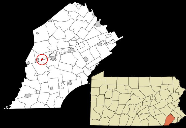
Pomeroy is a census-designated place (CDP) in Sadsbury Township, Chester County, Pennsylvania, United States. The population was 401 at the 2010 census.
Contents
Map of Pomeroy, PA 19367, USA
It was once the northern terminus of the Pomeroy and Newark Railroad.
Geography
Pomeroy is located at 39°57′51″N 75°53′11″W in the southeast corner of Sadsbury Township. Pennsylvania Route 372 passes through the center of the village, connecting Coatesville 3 miles (5 km) to the east with Parkesburg 1 mile (1.6 km) to the west.
According to the United States Census Bureau, the CDP has a total area of 0.33 square miles (0.86 km2), of which 0.33 square miles (0.85 km2) is land and 0.004 square miles (0.01 km2), or 0.88%, is water.
References
Pomeroy, Pennsylvania Wikipedia(Text) CC BY-SA