Time zone EET (UTC+2) | Elevation 333 m (1,093 ft) Local time Thursday 1:34 PM | |
 | ||
Weather 20°C, Wind N at 19 km/h, 29% Humidity | ||
Polydendri (Greek: Πολυδένδρι, English: "Many trees") is a town and former community of East Attica, Greece. Since the 2011 local government reform it is part of the municipality Oropos, of which it is a municipal unit.
Contents
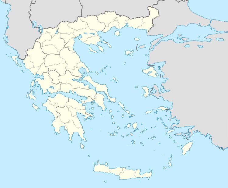
Map of Polydendri 190 14, Greece
It is located north of Athens. The town contains no more than 1,385 residents (2011 census) and it has many cultural unions, such as a youth union, a traditional dance union, an athletic club (the "Black Eagle of Polydendri" playing at the athletic center of Gourezi), a tracking club and a heavy metal society (called "the Obscure" and numbering 1.500 members from all around Greece). Furthermore, Polydendri is known for its taverns. The municipal unit has a land area of 13.881 km² and also includes the villages of Taxiárches (pop. 116), Irakleideís (68), and Ágios Geórgios (39). Its total population was 1,608 at the 2011 census.
History
During ancient times, the entire north Attica area was called Afidnes. During the Middle Ages, the inhabitants of the village were Scandinavian shepherds that reached the village at the end of the 9th century. There are many questions concerning the reasons that made those Vikings reach the north of Attica, but there are still remains of their civilization (a dozen buildings around the river, at the southeast of the village, have Viking architecture). During the years of the Ottoman Empire, a clan of Arvanites approached the north of Attica and after brief combat, they controlled the village, which had a very important strategic position for the defense of the city of Athens.
