
OS grid reference SW983715 Local time Thursday 8:59 AM Dialling code 01208 | Sovereign state United Kingdom Postcode district PL27 Civil parish St Breock | |
 | ||
Weather 6°C, Wind N at 19 km/h, 82% Humidity | ||
Building fire polmorla road wadebridge
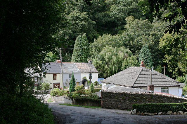
Polmorla is a hamlet just southwest of Wadebridge, Cornwall, England, United Kingdom, map reference SW983715. The Polmorla brook is a tributary of the River Camel, and rises on St Breock Downs.
Contents
Map of Polmorla, Wadebridge, UK
References
Polmorla Wikipedia(Text) CC BY-SA