
FIPS code 06-58030 Elevation 1,213 m Zip code 95726 Area code Area code 530 | Time zone Pacific (PST) (UTC-8) GNIS feature ID 1659419 Area 20.62 km² Population 6,871 (2010) | |
 | ||
5743 columbine way pollock pines california united states 95726
Pollock Pines is a census-designated place (CDP) in El Dorado County, California, United States. It is part of the Sacramento–Arden-Arcade–Roseville Metropolitan Statistical Area. Pollock Pines lies at an elevation of 3,980 ft (1,213 m) in the Sierra Nevada Mountains. The population was 6,871 at the 2010 census, up from 4,728 at the 2000 census.
Contents
- 5743 columbine way pollock pines california united states 95726
- Map of Pollock Pines CA 95726 USA
- Geography
- Climate
- History
- 2010
- 2000
- Politics
- References
Map of Pollock Pines, CA 95726, USA
Geography
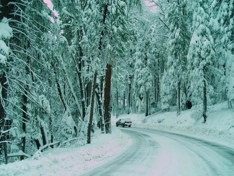
Pollock Pines receives annual snowfall between 6 inches and 6 feet. The town sits on the westward side of the Sierra Nevada and receives several inches of precipitation each year. According to the United States Census Bureau, the CDP has a total area of 8.0 square miles (21 km2), over 99% of it land.
For the 2000 census, the CDP had a total area of 5.8 square miles (15 km2), all of it land.
The area encompassing Pollock Pines is in a heavily timbered mountain region situated along the ridge top on the south side of the South Fork of the American River. It is approximately 15 miles east of Placerville and 60 miles east of Sacramento on Highway 50. It includes the area from the American River on the north to Jenkinson Lake and the Mormon Emigrant Trail on the south
Climate
According to the Köppen Climate Classification system, Pollock Pines has a warm-summer Mediterranean climate, abbreviated "Csa" on climate maps.
History
One of the original Pony Express stations (Twelve Mile House) was located in Pollock Pines. The location was covered by the restaurant called "Sportsman's Hall". The "Hall", which was originally opened in 1952 by John and James Blair, who had immigrated from Scotland, still operates today. Pollock Pines was primarily a lumber community (the town is named for H.R. Pollock, who operated a lumber mill in the area in the early 1900s). The first post office opened in 1936. The name celebrates the Pollock family, early settlers.
2010
The 2010 United States Census reported that Pollock Pines had a population of 6,871. The population density was 863.2 people per square mile (333.3/km²). The racial makeup of Pollock Pines was 6,195 (90.2%) White, 18 (0.3%) African American, 128 (1.9%) Native American, 56 (0.8%) Asian, 3 (0.0%) Pacific Islander, 251 (3.7%) from other races, and 220 (3.2%) from two or more races. Hispanic or Latino of any race were 713 persons (10.4%).
The Census reported that 6,849 people (99.7% of the population) lived in households, 22 (0.3%) lived in non-institutionalized group quarters, and 0 (0%) were institutionalized.
There were 2,827 households, out of which 795 (28.1%) had children under the age of 18 living in them, 1,484 (52.5%) were opposite-sex married couples living together, 264 (9.3%) had a female householder with no husband present, 168 (5.9%) had a male householder with no wife present. There were 201 (7.1%) unmarried opposite-sex partnerships, and 25 (0.9%) same-sex married couples or partnerships. 733 households (25.9%) were made up of individuals and 269 (9.5%) had someone living alone who was 65 years of age or older. The average household size was 2.42. There were 1,916 families (67.8% of all households); the average family size was 2.88.
The population was spread out with 1,463 people (21.3%) under the age of 18, 484 people (7.0%) aged 18 to 24, 1,511 people (22.0%) aged 25 to 44, 2,285 people (33.3%) aged 45 to 64, and 1,128 people (16.4%) who were 65 years of age or older. The median age was 44.8 years. For every 100 females there were 101.6 males. For every 100 females age 18 and over, there were 101.5 males.
There were 3,391 housing units at an average density of 426.0 per square mile (164.5/km²), of which 2,119 (75.0%) were owner-occupied, and 708 (25.0%) were occupied by renters. The homeowner vacancy rate was 3.2%; the rental vacancy rate was 11.9%. 5,063 people (73.7% of the population) lived in owner-occupied housing units and 1,786 people (26.0%) lived in rental housing units.
2000
As of the census of 2000, there were 4,728 people, 1,916 households, and 1,320 families residing in the CDP. The population density was 811.5 people per square mile (313.1/km²). There were 2,206 housing units at an average density of 378.6 per square mile (146.1/km²). The racial makeup of the CDP was 93.51% White, 0.02% Black or African American, 1.18% Native American, 0.70% Asian, 0.30% Pacific Islander, 1.42% from other races, and 2.88% from two or more races. 5.25% of the population were Hispanic or Latino of any race.
There were 1,916 households out of which 30.3% had children under the age of 18 living with them, 55.3% were married couples living together, 9.2% had a female householder with no husband present, and 31.1% were non-families. 25.1% of all households were made up of individuals and 9.8% had someone living alone who was 65 years of age or older. The average household size was 2.47 and the average family size was 2.93.
In the CDP, the population was spread out with 25.1% under the age of 18, 6.6% from 18 to 24, 26.5% from 25 to 44, 26.1% from 45 to 64, and 15.7% who were 65 years of age or older. The median age was 40 years. For every 100 females there were 98.2 males. For every 100 females age 18 and over, there were 95.4 males.
The median income for a household in the CDP was $41,294, and the median income for a family was $46,627. Males had a median income of $40,053 versus $28,906 for females. The per capita income for the CDP was $19,219. About 5.1% of families and 9.1% of the population were below the poverty line, including 11.1% of those under age 18 and 4.1% of those age 65 or over.
Politics
In the state legislature, Pollock Pines is in the 1st Senate District, represented by Republican Ted Gaines, and the 5th Assembly District, represented by Republican Frank Bigelow.
Federally, Pollock Pines is in California's 4th congressional district, represented by Republican Tom McClintock.