
Country United States County Rice Time zone Central (CST) (UTC-6) Elevation 530 m | State Kansas Area code(s) 620 Local time Thursday 3:04 AM | |
 | ||
Weather 11°C, Wind SE at 24 km/h, 70% Humidity | ||
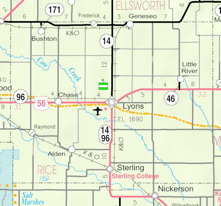
Pollard is an unincorporated community in Victoria Township, Rice County, Kansas, United States. It lies a fraction of a mile (about 1 km) west of K-14, 6 miles (9.7 km) southwest of Geneseo and 7 miles (11 km) north of Lyons, the county seat of Rice County.
Contents
Map of Pollard, Victoria, KS 67554, USA
History
For millennia, the land now known as Kansas was inhabited by Native Americans. In 1803, most of modern Kansas was secured by the United States as part of the Louisiana Purchase. In 1854, the Kansas Territory was organized, then in 1861 Kansas became the 34th U.S. state. In 1867, Rice County was founded.
Pollard had a post office from 1888 until 1923.
References
Pollard, Kansas Wikipedia(Text) CC BY-SA