
Rural okrugs 4 Area 834.3 km² | Towns of district significance 1 Cities/towns 1 Founded 7 April 1946 | |
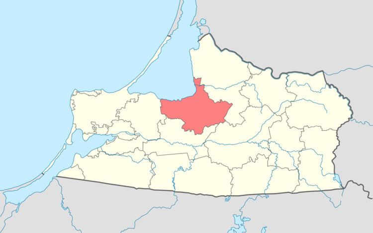 | ||
Polessky District (Russian: Поле́сский райо́н) is an administrative district (raion), one of the fifteen in Kaliningrad Oblast, Russia. As a municipal division, it is incorporated as Polessky Municipal District. It is located in the center of the oblast. The area of the district is 833 square kilometers (322 sq mi). Its administrative center is the town of Polessk. Population: 19,205 (2010 Census); 19,018 (2002 Census); 16,911 (1989 Census). The population of Polessk accounts for 39.5% of the district's total population.
Contents
Map of Polessky District, Kaliningradskaya Oblast, Russia
Geography
The district is situated in the center of the oblast, with the Curonian Lagoon to the north. The Deyma River, a branch of the Pregolya, flows through the district. Near Polessk, the Polessk Canal connects the Pregolya and the Neman Rivers, crossing a bog.
Economy
Economy is centered on fishery and agriculture. The railway line from Kaliningrad to Sovetsk, and the road Kaliningrad–Guryevsk–Polessk–Bolshakovo lead parallel with the shore of the Curonian Lagoon.