
Country India District West Godavari PIN 534315 Elevation 16 m Population 13,861 (2011) | State Andhra Pradesh Time zone IST (UTC+5:30) Vehicle registration AP37 Area 28.36 km² Local time Thursday 4:23 AM | |
 | ||
Weather 26°C, Wind E at 2 km/h, 94% Humidity | ||
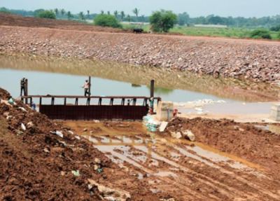
Polavaram is a village in West Godavari district of the Indian state of Andhra Pradesh. It is located in Polavaram mandal of Jangareddygudem revenue division at about 35 km away from the banks of Godavari River. The Papi Hills and Polavaram Project are the major landmarks near the village.
Contents
Map of Polavaram, Andhra Pradesh 534315
Geography
Polavaram is located at 17.2500°N 81.6333°E / 17.2500; 81.6333. It has an average elevation of 16 metres (55 ft).
Demographics
According to Indian census, 2001, the demographic details of Polavaram mandal is as follows:
Assembly constituency
Polavaram is an assembly constituency in Andhra Pradesh reserved for Scheduled Tribes comprises Polavaram, Buttayagudem, Jeelugumilli, Koyyalagudem and T.Narasapuram mandals.
References
Polavaram, West Godavari district Wikipedia(Text) CC BY-SA