
Area 11.66 km² | Intercommunality Sud-Ouest Amiénois Local time Wednesday 8:15 PM | |
 | ||
Weather 7°C, Wind SE at 16 km/h, 78% Humidity | ||
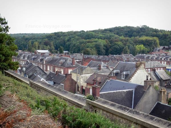
Poix-de-Picardie is a commune in the Somme department in Hauts-de-France in northern France.
Contents
Map of 80290 Poix-de-Picardie, France
Geography
The commune is situated at the junction of the N1 and N29 roads, some 20 miles (32 km) southwest of Amiens, at the bottom of a rather steep-sided valley, confined by Normandy to the south and Picardie to the north. The commune has rail access, linking with the Rouen / Amiens network via the TER.
Places of interest
Tyrrel family
The Tyrrel, or Tirel family were Lords of Poix from the twelfth to the fifteenth century. The most famous member of this family was Walter Tirel, who killed King William Rufus of England, son of William the Conqueror; whether it was an accident or an assassination has never been established. Walter's grandson Hugh Tyrrel, baron of Castleknock, played a prominent role in the Norman Conquest of Ireland and in the Third Crusade.