
Country Poland Gmina Pogorzela Area 4.34 km² Population 1,974 (2006) | County Gostyń Postal code 63–860 Local time Wednesday 4:05 PM | |
 | ||
Weather 9°C, Wind E at 8 km/h, 53% Humidity Voivodeship Greater Poland Voivodeship | ||
1050 pogorzela
Pogorzela [pɔɡɔˈʐɛla] (German: Brandenstein) is a town in Gostyń County, Greater Poland Voivodeship, Poland, with 1,958 inhabitants (as of 2004). Pogorzela is located on the western edge of the Kalisz Upland, at the junction of county roads Krotoszyn-Gostyń and the Koźmin-Krobia.
Contents
Map of Pogorzela, Poland
HIstory
Pogorzela is first mentioned in the early 15th century when the town was owned by Wczelów-Pogorzelskich. It is notable as the birthplace of Preczlaw of Pogarell a medieval Roman Catholic Bishop of Wrocław. In the 16th century the town became a center of Lutheranism, and in the 18th century became a centre of light industries.
In 1999 Pogorzela was administratively moved from Krotoszyn County to Gostyń County.
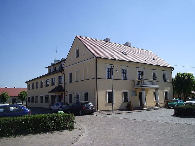
Landmarks
References
Pogorzela Wikipedia(Text) CC BY-SA