
 | ||
Simpson desert 2009 part 2 birdsville to poeppel corner
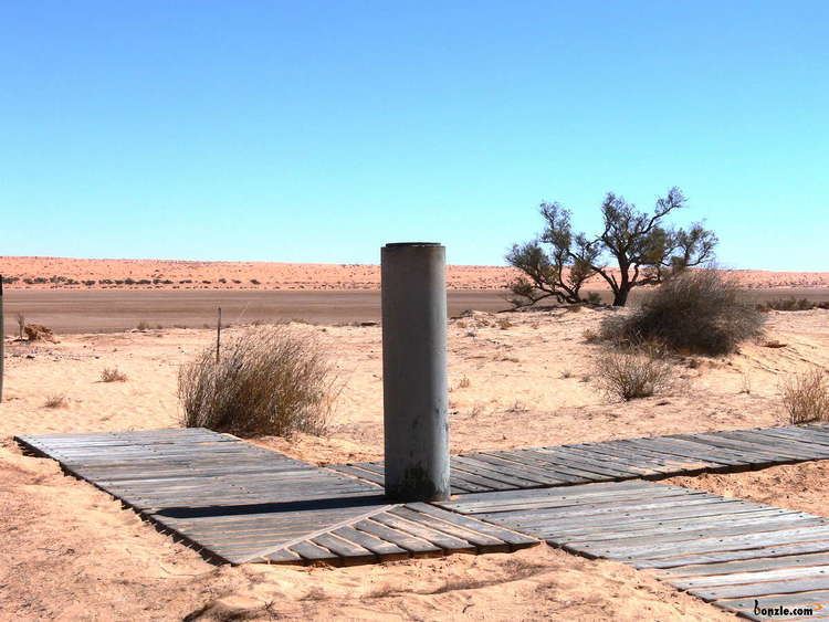
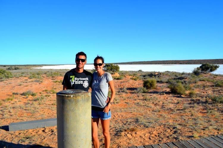
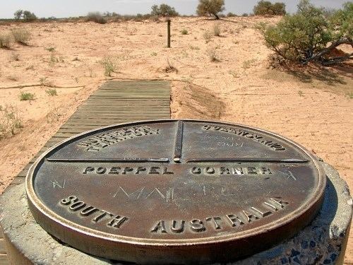
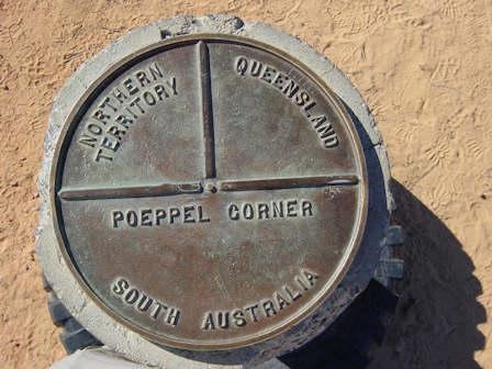
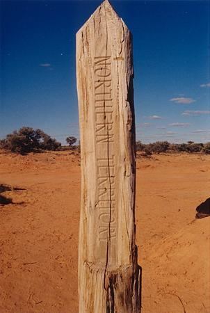
Poeppel Corner (known as Poeppel's Corner in Queensland) at latitude 26° S and longitude 138° E is a corner of state boundaries in Australia, where the state of Queensland meets South Australia and the Northern Territory. As with the other three corners it is a destination for four-wheel-drive tourists. Poeppel Corner is about 174 km west of Birdsville in the middle of the Simpson Desert.
Contents
- Simpson desert 2009 part 2 birdsville to poeppel corner
- Simpson desert clay pan near poeppel corner
- Heritage listing
- References
Augustus Poeppel, after whom the point is named, conducted a survey in the mid-1880s to find the exact location of the central Australian state borders. His team used camels to drag a coolibah post to mark the intersection. Originally the point was located in a salt lake, however it was found that the measuring chain used was a few centimetres too long. Another survey was conducted by Lawrence Wells, who relocated the post to its current position.
New Year's Eve occurs three times in Poeppel Corner (also in Cameron Corner and Surveyor Generals Corner), because it is at the intersection of three time zones.
Simpson desert clay pan near poeppel corner
Heritage listing
The Poeppel Corner Survey Marker is a heritage-listed site, having been added to the Queensland Heritage Register in 2012.