
 | ||
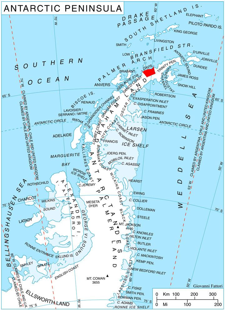
Podvis Col (Bulgarian: седловина Подвис, ‘Sedlovina Podvis’ se-dlo-vi-'na 'pod-vis) is the ice-covered col of elevation 1494 m on Davis Coast in Graham Land, Antarctica, extending 1.6 km between Korten Ridge to the northwest, and Tsarevets Buttress and Detroit Plateau to the southeast. It is overlooking Sabine Glacier to the north and Temple Glacier to the southwest.
Contents
The col is named after the settlement of Podvis in Southeastern Bulgaria.
Location
Podvis Col is centred at 63°58′51″S 59°46′39″W. German-British mapping in 1996.
Map
References
Podvis Col Wikipedia(Text) CC BY-SA