
 | ||
Poduene Glacier (Bulgarian: ледник Подуене, ‘Lednik Poduene’ \'led-nik po-'du-e-ne) is the 3.3 km long and 2.4 km wide glacier on Pefaur (Ventimiglia) Peninsula, Danco Coast on the west side of Antarctic Peninsula, situated west of Agalina Glacier. It drains the north slopes of Mount Zeppelin, and flows northwestwards into Gerlache Strait east of Eckener Point.
Contents
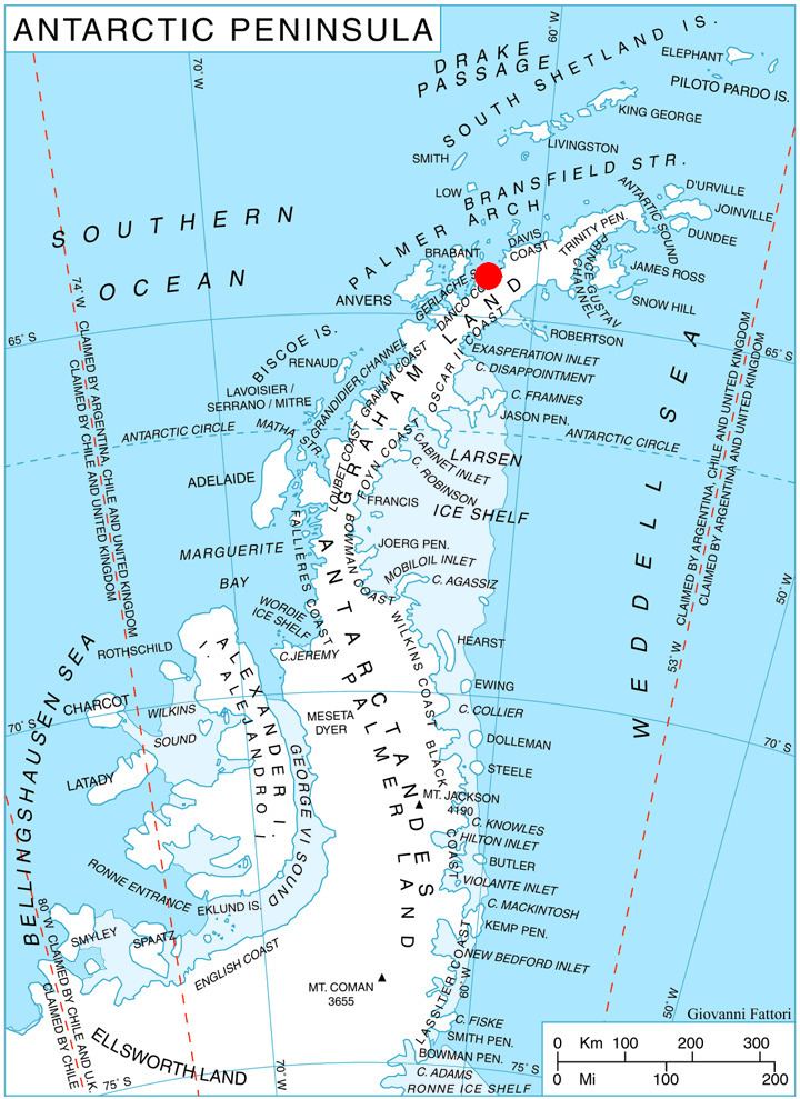
Map of Poduene Glacier, Antarctica
The glacier is named after the settlement of Poduene in Western Bulgaria, now part of the city of Sofia.
Location
Poduene Glacier is centred at 64°26′30″S 61°32′00″W. British mapping in 1978.
Maps
References
Poduene Glacier Wikipedia(Text) CC BY-SA