Neha Patil (Editor)

Podor Department

Updated on
Edit
Like
Comment
Share on FacebookTweet on TwitterShare on LinkedInShare on Reddit
Country
  
Senegal

Capital
  
Area
  
12,947 km²

Time zone
  
GMT (UTC+0)

Local time
  
Wednesday 12:01 PM

Podor Department

Weather
  
34°C, Wind NE at 11 km/h, 15% Humidity

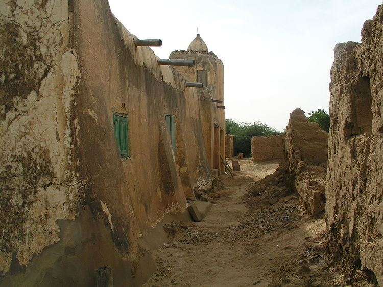
Podor Department is one of the 45 departments of Senegal and one of the three in the Saint-Louis Region in the far north-west of the country.

Contents

Map of Podor, Senegal

Communes in the department are:

  • Golléré
  • Ndiandane
  • Ndioum
  • Podor
  • Mboumba
  • Guédé Chantier
  • Démette
  • Galoya Toucouleur
  • Aéré Lao
  • Pété
  • Walaldé
  • Bodé Lao
  • Rural districts (Communautés rurales) comprise:

  • Arrondissement of Cas-Cas
  • Méry
  • Doumga Lao
  • Madina Diathbé
  • Arrondissement of Gamadji Saré
  • Gamadji Saré
  • Dodel
  • Guédé Village
  • Arrondissement of Saldé
  • Mbolo Birane
  • Boké Dialloubé
  • Arrondissement of Thillé Boubacar
  • Fanaye
  • Ndiayène Peindao
  • Historic Sites

  • The Fort at Podor
  • Maison Foy at the corner of the quay in Podor
  • The quays and quay buildings of Podor
  • The mosque at Alwar
  • The Almamy cemetery at Mboumba
  • The old mosque at Mboumba
  • The mosque and mausoleum of Ouro Madiou
  • The mosque of Diama Alwaly
  • The old village of Walaldé
  • The old village of Siouré
  • The old village of Kaskas
  • The mosque of Guédé Ouro
  • The old village of Tioubalel
  • References

    Podor Department Wikipedia


    Similar Topics