
River mouth Yenisei River Basin area 240,000 km² Country Russia | Length 1,865 km Mouth Yenisei River | |
 | ||
Basin size 240,000 km (93,000 sq mi) Discharge Average rate:
1,750 m/s (62,000 cu ft/s) | ||
Podkamennaya tunguska river avi
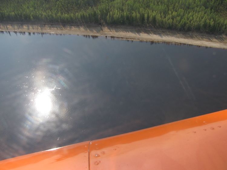
The Podkamennaya Tunguska (Russian: Подкаменная Тунгуска, literally Tunguska under the stones, also Middle Tunguska or Stony Tunguska) is a river in Krasnoyarsk Krai, Russia. It is an eastern tributary of the Yenisei and has a length of 1,160 miles (1,870 km). The name of the river comes from the fact that it flows under pebble fields without open water. As early as 1610 Russians from Mangazeya had passed the Stony Tunguska's confluence with the Yenisei; by the 1620s Mangazeya Cossacks and trappers had ascended it seeking fur-tribute from the local Tungus clans. The Tunguska event in June 1908 occurred near this river, some 8 km (5.0 mi) SSE of Lake Cheko.
Contents
Map of r. Podkamennaya Tunguska, Krasnoyarsk Krai, Russia
In its upper reaches the river is known as Katanga.
References
Podkamennaya Tunguska River Wikipedia(Text) CC BY-SA