
Elevation 420 m Local time Wednesday 10:49 AM | Area 14.14 km² | |
 | ||
Weather 10°C, Wind N at 24 km/h, 78% Humidity | ||
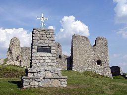
Podbranč (Hungarian: Berencsváralja) is a village and municipality in Senica District in the Trnava Region of western Slovakia.
Contents
Map of 906 05 Podbran%C4%8D, Slovakia
History
In historical records the village was first mentioned in 1297.
Geography
The municipality lies at an altitude of 420 metres and covers an area of 14.137 km². It has a population of about 645 people.
References
Podbranč Wikipedia(Text) CC BY-SA