
Time zone CET/CEST (UTC+1/+2) Area 5.41 km² Local time Wednesday 8:45 AM Town Marienberg | Elevation 550 m (1,800 ft) Postal codes 09496 Population 2,054 (31 Dec 2008) Postal code 09496 Dialling code 03735 | |
 | ||
Weather 2°C, Wind E at 11 km/h, 88% Humidity Points of interest Katzenstein, Molchner Stolln, Marienberg ‑ Pobershau | ||
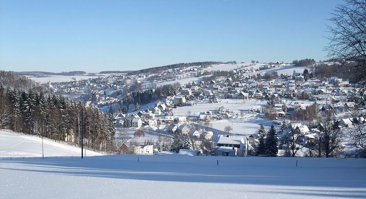
Pobershau is a former municipality in the district Erzgebirgskreis, in Saxony, Germany. With effect from 1 January 2012, it has been incorporated into the town of Marienberg.
Contents
Map of Pobershau, 09496 Marienberg, Germany
Geography
Pobershau lies in the valley of the Red Pockau, a tributary of the Black Pockau. The hamlet of Rittersberg lies north of the main village on the left slopes of the Red Pockau. The hamlet of Hinterer Grund lie east of the village rather remotely in the valley of the Black Pockau. The highest point in Pobershaus lies at 700.5 m above NHN near the Katzensteine mountain. The lowest point is at 500 m above NHN in the Kniebreche, the area around the confluence of the Red and Black Pockau.
Subdivisions
The municipality is divided into:
References
Pobershau Wikipedia(Text) CC BY-SA