
Airport type Public Elevation AMSL 148 ft / 45 m 6/24 4,349 Elevation 45 m | Website www.pymairport.org Code PYM Phone +1 508-746-2020 | |
 | ||
Address 246 S Meadow Rd, Plymouth, MA 02360, USA | ||
Plymouth Municipal Airport (IATA: PYM, ICAO: KPYM, FAA LID: PYM) is a town-owned, public-use airport located four nautical miles (7 km) southwest of the central business district of Plymouth, a town in Plymouth County, Massachusetts, United States. According to the FAA's National Plan of Integrated Airport Systems for 2009–2013, it is categorized as a general aviation airport. Due to space issues, the airport has 2 gates in Carver, Massachusetts.
Facilities and aircraft
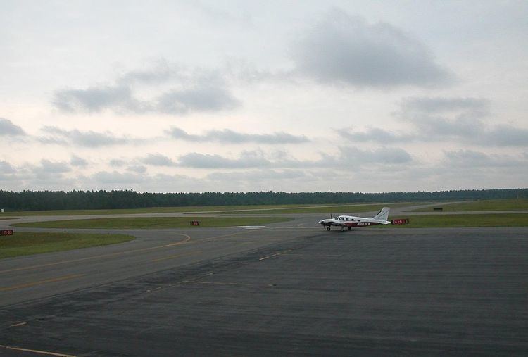
Plymouth Municipal Airport covers an area of 758 acres (307 ha) at an elevation of 148 feet (45 m) above mean sea level. It has two asphalt paved runways: 6/24 is 4,349 by 75 feet (1,326 x 23 m) and 15/33 is 3,351 by 75 feet (1,021 x 23 m).
For the 12-month period ending April 1, 2009, the airport had 73,040 aircraft operations, an average of 200 per day: 96% general aviation, 4% air taxi, and <1% military. At that time there were 134 aircraft based at this airport: 75% single-engine, 12% multi-engine, 5% jet and 8% helicopter.
The airport does not have a control tower, as it is has an airspace class of E. There is both an Automated Surface Observation System (ASOS) and Common Traffic Advisory Frequency (CTAF) available at Plymouth Airport.