
Vehicle registration ΙΝ Local time Wednesday 3:58 AM | Time zone EET (UTC+2) Elevation 880 m | |
 | ||
Weather 2°C, Wind NE at 5 km/h, 85% Humidity | ||
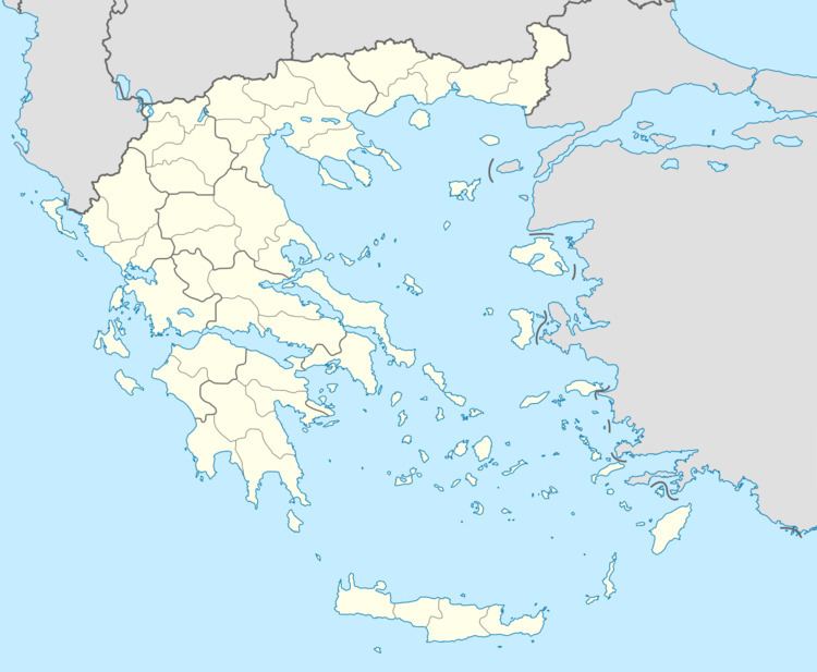
Plikati (Greek: Πληκάτι, Albanian: Pelekat) in the municipal unit of Mastorochoria, Ioannina regional unit, Greece. It is one of the northernmost villages in Epirus. In 2011 its population was 70. The village is situated at the foot of the Grammos mountains, at 1,240 m elevation, close to the Albanian border. Plikati has traditionally been populated by Vlachs.Plikati is 3 km north of Gorgopotamos, 8 km west of Aetomilitsa, 9 km southeast of Ersekë (Albania) and 28 km north of Konitsa. Plikati has traditionally been populated by an Arvanite population and Albanian is still spoken in the village. A Vlach minority has also been present in the village.
Contents
Map of Plikati 440 15, Greece
History
Plikati is an old village, with a church dating from the 16th century. Due to overpopulation, poverty and raids by Muslim Albanians from the nearby Kolonjë region (located today in Albania) in the 19th century, many of its inhabitants moved away and founded new villages in the area around Florina (Belkameni and Negovani) and Larissa (Kazaklar).