
Country United States ZIP codes 61441, 61501, 61542 Elevation 165 m Local time Tuesday 4:21 PM | Time zone CST (UTC-6) GNIS feature ID 0429576 Area 96.3 km² Population 744 (2010) | |
 | ||
Weather 8°C, Wind N at 18 km/h, 62% Humidity | ||
Pleasant Township is one of twenty-six townships in Fulton County, Illinois, USA. As of the 2010 census, its population was 744 and it contained 387 housing units.
Contents
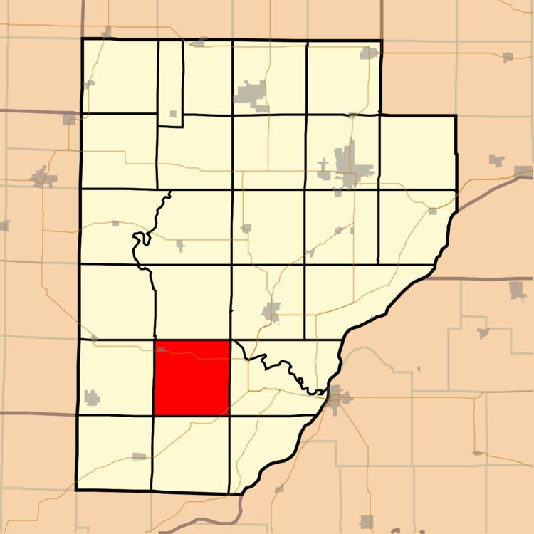
- Map of Pleasant Township IL USA
- Geography
- Cities towns villages
- Unincorporated towns
- Cemeteries
- Major highways
- School districts
- Political districts
- References
Map of Pleasant Township, IL, USA
Geography
According to the 2010 census, the township has a total area of 37.2 square miles (96 km2), of which 37.19 square miles (96.3 km2) (or 99.97%) is land and 0.02 square miles (0.052 km2) (or 0.05%) is water.
Cities, towns, villages
Unincorporated towns
(This list is based on USGS data and may include former settlements.)
Cemeteries
The township contains these seven cemeteries: Danner, Howard, Ipava, Lacey, Montgomery, Old Ipava and Smith.
Major highways
School districts
Political districts
References
Pleasant Township, Fulton County, Illinois Wikipedia(Text) CC BY-SA