
Length 6.9 mi (11.1 km) Surface Mostly Asphalt | Location Indianapolis, Indiana | |
 | ||
Trailheads Ellenberger Pack;
Garfield Park Use Hiking, Biking, Rollerblading Season Year round during daylight | ||
The Pleasant Run Trail, also known as the Pleasant Run Greenway, is a pedestrian and bicycle trail in Indianapolis, Indiana. It runs for 6.9 miles (11.1 km) from Ellenberger Park, through Christian Park, to Garfield Park. It follows the general course of Pleasant Run Creek as it flows to the south and west. Most of the trail is located within the parkway on one side or the other of the creek; the parkway itself is part of the historic Indianapolis Park and Boulevard System. In several places the trail is routed on sidewalks of city streets due to existing structures and facilities that make the parkway itself discontinuous.
Contents
Map of Pleasant Run Trail, Indianapolis, IN, USA
Construction
In 1994 the Indianapolis Department of Parks and Recreation presented the Indianapolis Greenways Plan to establish a system of linear parks consisting of 14 corridors; one of those was the Pleasant Run Corridor. Construction of the trail was begun in 1997, and was officially opened in August 1998. Much of the trail lies within the existing Pleasant Run Parkway; the parkway itself had been constructed in the 1920s as part of the Indianapolis Park and Boulevard System.
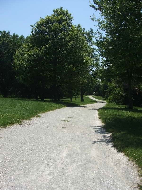
Most of the trail is asphalt and is 5–12 feet (1.5–3.7 m) wide. Exceptions are in Ellenberger Park, where crushed limestone is used, and those places where the path uses existing sidewalks along streets. Every quarter-mile is marked; the first marker in Ellenberger Park is mile 2 because of plans to extend the trail further east.
Route
The Pleasant Run Trail starts in the southwest corner of Ellenberger Park in Irvington and follows the north bank of the creek west and south to the Kin Hubbard Memorial, a small park bounded by Emerson Avenue, New York Street, and Pleasant Run Parkway North Drive. From there the trail heads south along Emerson over the creek to Washington Street. It follows Washington Street west back across the creek and again runs along the north bank for a short distance until it turns south across Pleasant Run Parkway North Drive. A pathway to Thomas Carr Howe Community High School connects at that point. The trail continues along the north bank until both it and the parkway cross the creek under the CSX (formerly Baltimore and Ohio) railroad bridge. At Brookville Road the trail again crosses from the south bank to the north bank and passes through Christian Park, connecting with several paths within the park.
At the intersection of English and Avon avenues the Pleasant Run Trail diverges from the creek and is routed along the sidewalks on English Avenue to Pleasant Run Parkway North Drive. The trail continues west between the parkway and the creek to Keystone Avenue, at which point it is again routed on sidewalks south on Keystone and east on Prospect Street until it again meets the creek. There are signs marking the trail in those locations where it uses city sidewalks.
From Prospect Street the trail runs along the north bank of Pleasant Run, passing by Orange Park. Near Spruce Street a pedestrian bridge takes the trail to the south bank, where it continues in a westward direction under the Interstate 65 bridge. At Shelby Street the trail intersects with a bike track that connects with the Indianapolis Cultural Trail to the north. West of Shelby Street the trail turns south with the creek, passing through the southeast corner of the Bates-Hendricks neighborhood. South of Beecher Street it goes under the Indianapolis Belt Railroad tracks. It enters the north edge of Garfield Park, passing on a boardwalk under the Raymond Street bridge. The trail ends at Pagoda Drive in the park, but several paths within the park connect with it.
Future plans
Plans exist to extend the trail further along Pleasant Run Parkway south and west of Garfield Park, eventually connecting to the Wapahani Trail along the White River. An extension north and east from Ellenberger Park toward Shadeland Avenue and the Pennsy Trail is also possible. A connector running north along the west side of Shelby Street to Fountain Square and the Indianapolis Cultural Trail was completed in 2011.