
Local time Tuesday 4:14 PM | ||
 | ||
Weather 14°C, Wind NE at 26 km/h, 75% Humidity | ||
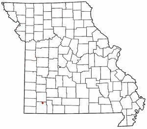
Pleasant Ridge is an unincorporated community in northern Barry County, Missouri. It is located on Missouri Supplemental Routes Z and VV, eight miles east of Monett. Community boundaries extend approximately 0.5 mile east and west of Route VV along Route Z, and 0.5 to 1.0 miles north and south of Route Z along Routes VV and its farm road extension to the north.
Contents
Map of Pleasant Ridge, MO 65769, USA
History
Pleasant Ridge at one time was home to a cannery, school, and several residences. The schoolhouse still stands on the southwest corner of the intersection of Routes Z and VV. The cannery no longer is standing, however it is believed to be located on the concrete pad found next to Route Z in the southeast corner of the intersection of Routes Z and VV.
Local farms, according to residents, grew cucumbers and blueberries, specifically in the bottom land found to the southwest of the community center.
The Tom Town Historic District was added to the National Register of Historic Places in 1989.
Climate
The climate is characterized by relatively high temperatures and evenly distributed precipitation throughout the year. The Köppen Climate Classification subtype for this climate is "Cfa" (Humid Subtropical Climate).