
Country United States Time zone CST (UTC-6) Area 107.9 km² Population 1,327 (2010) | Established November 8, 1859 Elevation 223 m Local time Tuesday 3:48 PM | |
 | ||
ZIP codes 61920, 61938, 62440, 62469 Weather 14°C, Wind N at 26 km/h, 33% Humidity | ||
Pleasant Grove Township is one of twelve townships in Coles County, Illinois, USA. As of the 2010 census, its population was 1,327 and it contained 573 housing units.
Contents
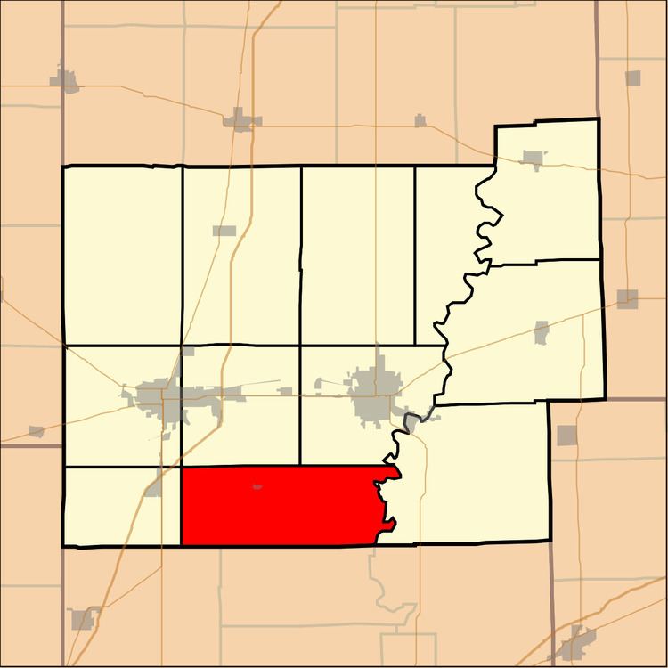
- Map of Pleasant Grove Township IL USA
- Geography
- Cities towns villages
- Unincorporated towns
- Extinct towns
- Cemeteries
- Rivers
- Landmarks
- School districts
- Political districts
- References
Map of Pleasant Grove Township, IL, USA
Geography
According to the 2010 census, the township has a total area of 41.65 square miles (107.9 km2), of which 41.64 square miles (107.8 km2) (or 99.98%) is land and 0.01 square miles (0.026 km2) (or 0.02%) is water.
Cities, towns, villages
Unincorporated towns
Extinct towns
Cemeteries
The township contains 14 cemeteries: Armstrong, Bales, Beals, Doty, Janesville, Leitch, Lower Muddy, Mount Tabor, New Indian Creek, New Kelley, Old Indian Creek, Shiloh, Upper Muddy and Wright.
Rivers
Landmarks
School districts
Political districts
References
Pleasant Grove Township, Coles County, Illinois Wikipedia(Text) CC BY-SA