
Population 340 (Parish-2011) Sovereign state United Kingdom Area 16.6 km² Dialling code 01797 | OS grid reference TQ925226 Post town RYE Local time Tuesday 6:32 PM District Rother | |
 | ||
Weather 8°C, Wind SW at 19 km/h, 66% Humidity | ||
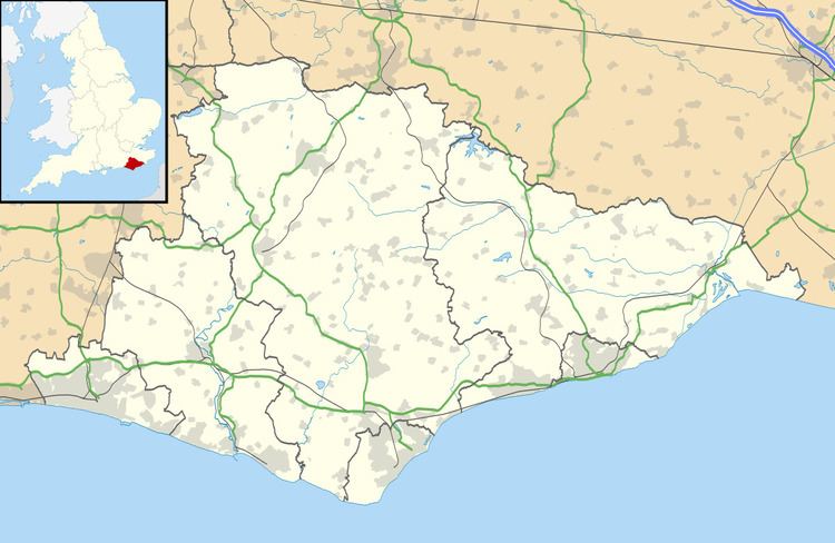
Playden is a village and civil parish in the Rother District of East Sussex, England. The village is located one mile (1.6 km) north-west of Rye. It is mentioned in the Domesday Book as Pleidena; it is a largely rural parish, having no village centre, and the hamlet of Houghton Green is included in the parish. Playden's main occupation was fishing: the fish were salted in a one-time settlement known as Saltcote, after the fact that it had a fish salting industry based there. Saltcote Street is now all that remains of that industry.
Map of Playden, Rye, UK
The Norman church is dedicated to St Michael.
Within the parish there is a Site of Special Scientific Interest (SSSI), Houghton Green Cliff. This is an exposed cliff face displaying sandstones of geological interest.
In addition, part of the Dungeness, Romney Marsh & Rye SSSI lies within Playden parish